Beijing Yongding River Green River Park South Cycling
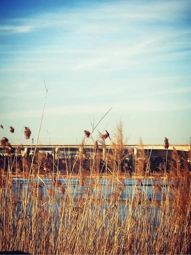
Green River Park reed beds
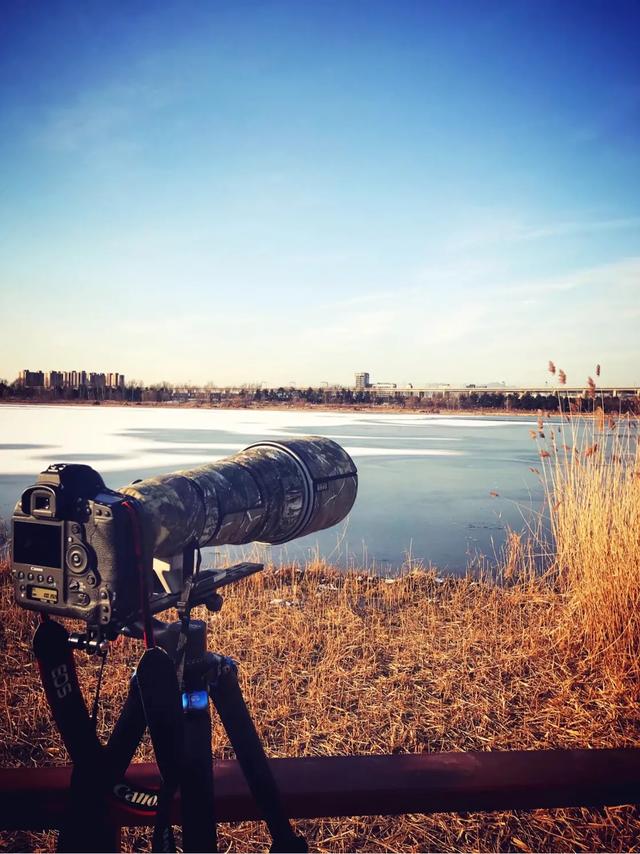
Many photographers came to take pictures
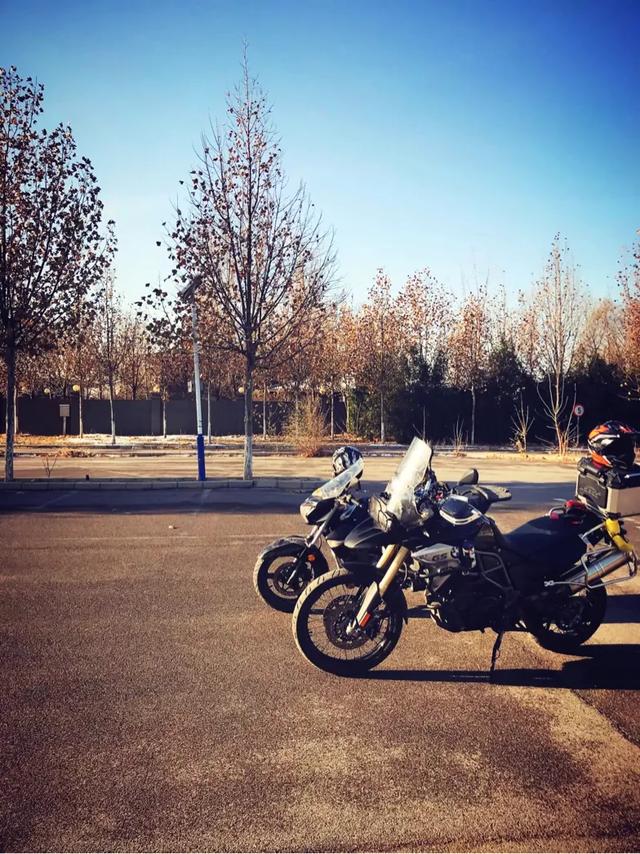
Green River Park south of the abandoned golf course. This abandoned parking lot is a good place to practice driving
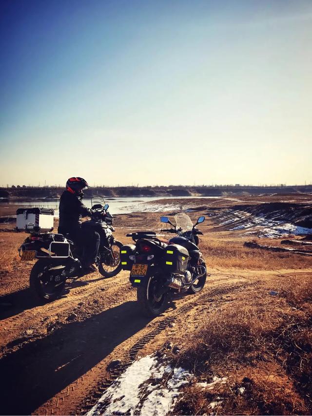
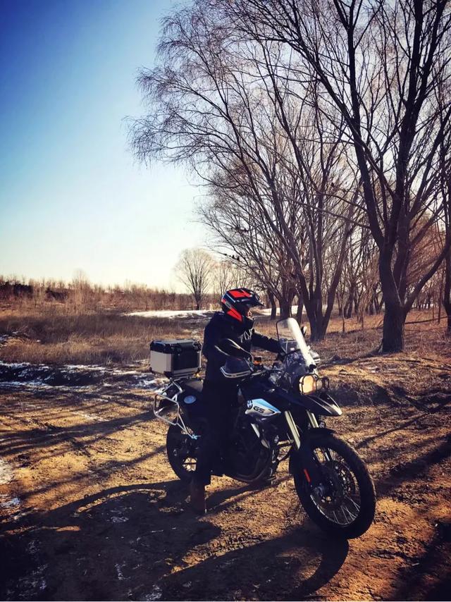
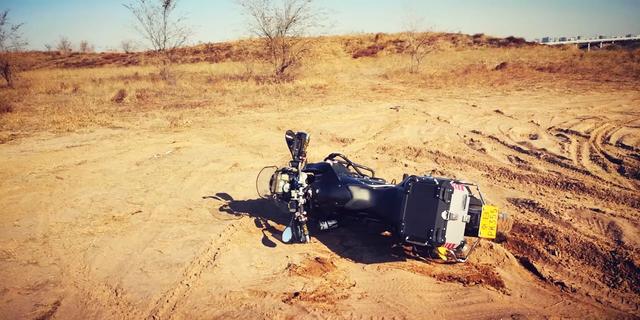
Continue south cycling, all dirt roads
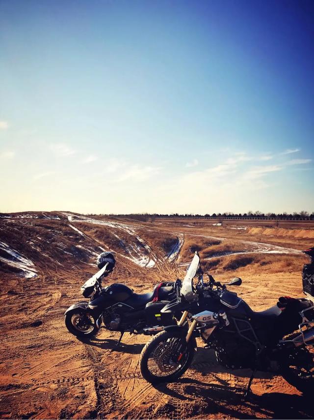
This is a dirt bike. It's a paradise for car enthusiasts! Closest to the city
Ming's BMW
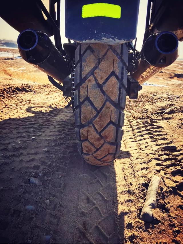
My GW changed to all-terrain tires. It's better than the previous tires for this kind of road
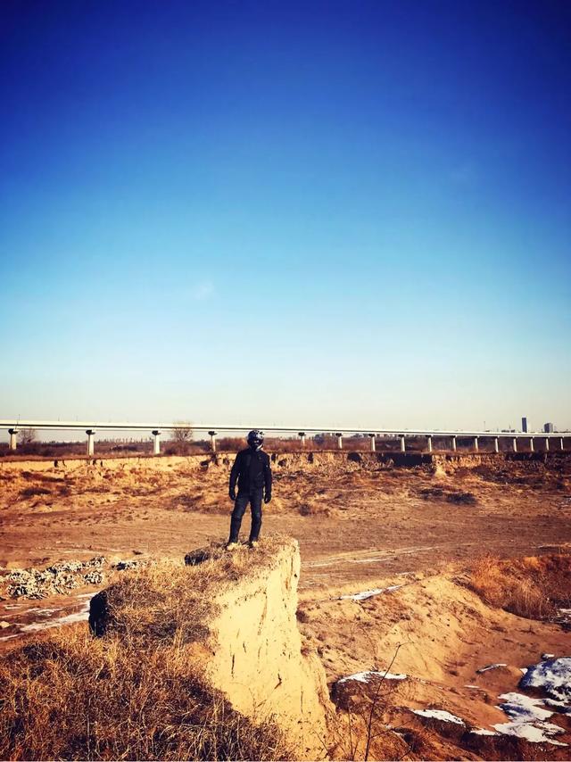
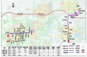
Behind is the Fangshan subway line bridge
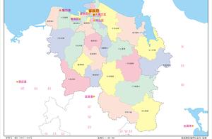
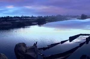
The Yongding River will be familiar to many drivers, let me briefly introduce the Yongding River section in Beijing
The starting point of Guanting Water Reservoir enters Beijing, many drivers have been to it, the Zhouhuo Valley, the Hanging Wall road. A very good motorcycle route. Guanting Mountain Canyon is 108.7 kilometers long, with a slope of 1/320. The entrance to the canyon has cliffs on both sides, with a width of 100-300 meters, and a height of 20-60 meters, with mountains stretching along, with water flowing and winding, and the left and right banks have more than 10 streams converging
The Menlou Qingchuqiu section on both sides is 40-80 meters high vertical cliff canyons. Between the Mausoleum of the Kings and Anjia Zhuang, the river width is 200-300 meters, and the gravel riverbed forms shoals. Near Shimizu Jian, the river flows east and bends, with a width of 100-200 meters, and reaches Jinzhuang around 300 meters, and gradually increases to 700-800 meters near Simaidian. From Simaidian to Lugou Bridge, the river is about 17 kilometers long, with a slope of 1/450, and a river width of 250-300 meters
Menlougou threejia store highway bridge downstream, the river width is about 500 meters, the riverbed is made of sand and gravel deposits, the water flow divides into two streams. Threejia store below 6 kilometers to Shijingshan enters the plains, the left bank starts to build a dike from Maoyu Village, and the right bank begins to build a dike from Yinshan Zhuang, and the two converge here
Yinshan Zhuang downstream, the dike distance is 000-1500 meters, to Lugou Bridge about 1700 meters, the dike distance shrinks to about 600 meters, Lugou Bridge total width is only 153.16 meters
From Lugou Bridge to Liangge Zhuang, the river is 80 kilometers long, the river channel is a terrestrial river, the left bank is the main bank, the shoal is 3-7 meters higher than the outside of the bank, with a slope of 1/1000-1/2000
Lugou Bridge below Luojia store dike about 1400 meters, to Beitianfu nearby dike distance 3133 meters, Dafu Village dike narrow to 2000 meters, to Erfang increased to 2600 meters, Yanxian Village 3000 meters about, below changes within 1500-2000 meters, near the Golden Gate dike distance 532 meters, Shiliu Pi below to Xiao Guolin width 1300 meters, until Liangge Zhuang mouth gate. The dike is made of sandy soil, and the river quality is also mostly sandy soil, the main road is unstable, and there are more than 20 dangerous works on both banks, and before the founding of the People's Republic of China, the coast was mainly protected by earthen embankments
Liange Zhuang below to Qujia Store is the Yongding River district, 75 kilometers long, north-south width of 1.2-16 kilometers, with a slope of 1/2500-1/10000, an area of 460 square kilometers, spanning Daxing, Qingqing, Anci, and Qingqing in Tianjin suburbs. The river district has north dike and south dike, due to the unstable migration of river valleys, farmers spontaneously combined and built temporary wheat dikes on both banks at low water valleys to maintain production and life