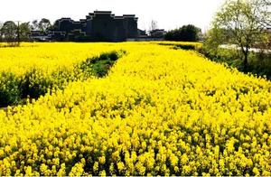
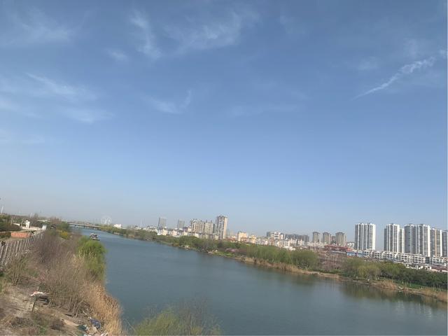
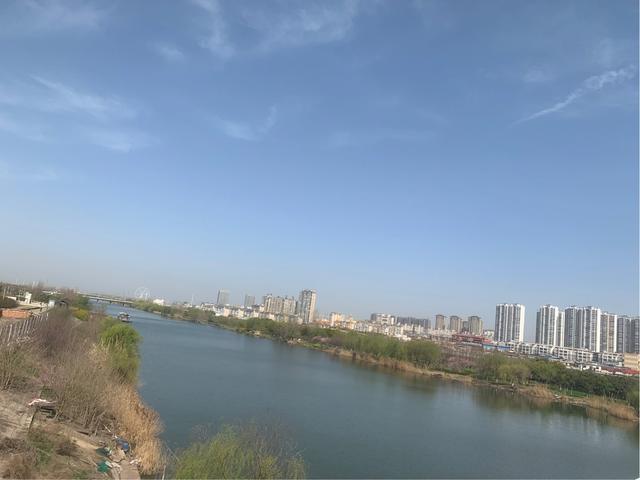
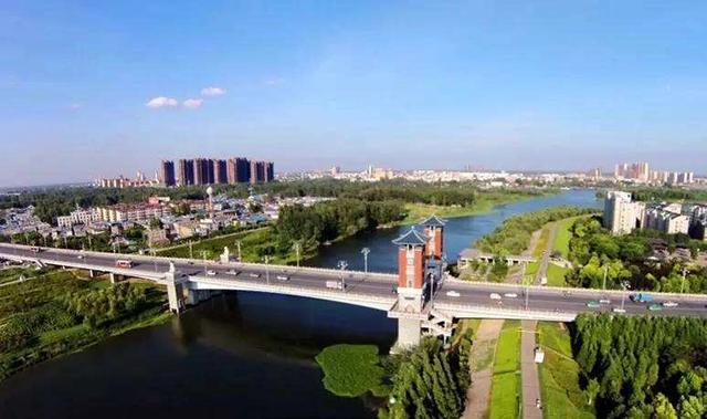
Qu River Scenic Views on Both Banks of the River
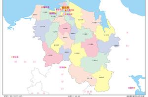
Geographical location
The source of the Qu River is in Shaoling Shan, Chengcheng County, Henan Province. It flows through Chengcheng, Shangshu, Xiangcheng, Shenqiu, and enters Anhui Province at Wugou mouth (Qu River right bank), then flows eastward through Linquan and Yangqijie counties in Anhui, passing south of Linquan City, north of Yangqijie, north of Diaoji, and entering the south bank of Puyang City, finally entering the River.
Qu River Introduction
The river channel is 241 kilometers long, with 98 kilometers in Anhui Province; the watershed area is 5222 square kilometers, with 1990 square kilometers in Anhui Province. The Qu River on both banks of Anhui Province has low terrain and is affected by the Huangfan (Yellow River floodplain), with the riverbed elevation reaching 31.3-31.5 meters at the outlet, decreasing by about 17 kilometers upstream, resulting in the lowest terrain from Jiu Long Gou to Jue He Wan, with 25 kilometers in the Jiu Long Gou to Jue He Wan section being at the lowest terrain in the watershed, and due to the Puyang Fangyuan Lock Reservoir affecting the two banks, there are not many opportunities for self-drainage in the low-lying areas of about 100,000 mu, and during the flood season, the Qu River in Anhui Province is mainly a flood-discharge upper stream.
The Qu River channel is curved, with a straight-line distance of 62 kilometers and a curvature of 1.57, an average drainage reduction of 1/1.6, and an average flood reduction of 1/2.15. The riverbed elevation at the outlet is 20 meters, with a width of 50 meters and a depth of 9 meters. Before 1938, the Qu River system flowed northeast from Bai Miaoyu to Puyang City, entering the River to the east.