Pugcheng (Lugyang Lake)
Pugcheng (Lugyang Lake)
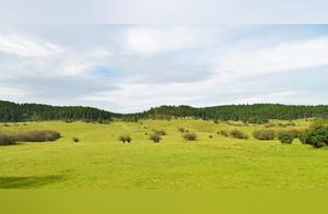
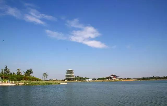
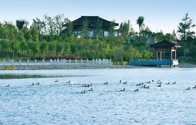
Lugyang Lake, also known as Lugbo Tan, is located south of the Xi Yu Expressway, west of the Weiqing Road, east of Fuping Liu Jitun, spanning Pugcheng and Fuping counties, with a length of 30 kilometers from east to west and a width of 1.5 to 7 kilometers from north to south, with a total area of 109.14 square kilometers, with an altitude of 377-380 meters. It is a closed tectonic depression. It is 40 kilometers south of Weinan, 78 kilometers west of Xi'an, and 20 kilometers from Yanliang. It is 92 kilometers from the Xi'an International Airport.
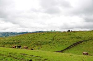
Geologists surveyed and determined that Lugyang Lake belonged to the ancient Sanmen Lake about 10,000 years ago. Later, due to tectonic movement and the formation of the Wei River, Lugyang Lake separated and became an independent lake, with an area about ten times larger than its current size. Because Lugyang Lake belongs to surface water and groundwater collection areas, the sediment content is high in salt and alkali, and the water quality is highly mineralized, in addition to being affected by climate and human activities, it gradually shrank into a wetland in the late Ming Dynasty. The wetland is difficult to cultivate, so there have always been few people living there. After the Liberation, the new government launched an alkali drainage project, although it cultivated some farmland, but the large area of wetland remained desolate, with reeds and wild grasses. Occasionally, in wet years, groundwater will rise again, re-appearing one by one of the ponds. In 2003, during the heavy rain in Weinan, the average water depth reached 1.7 meters, and Lugbo Tan became Lugyang Lake.